img_1424.jpg

With redevelopment’s end, Bay Area cities scramble to keep grand plans alive

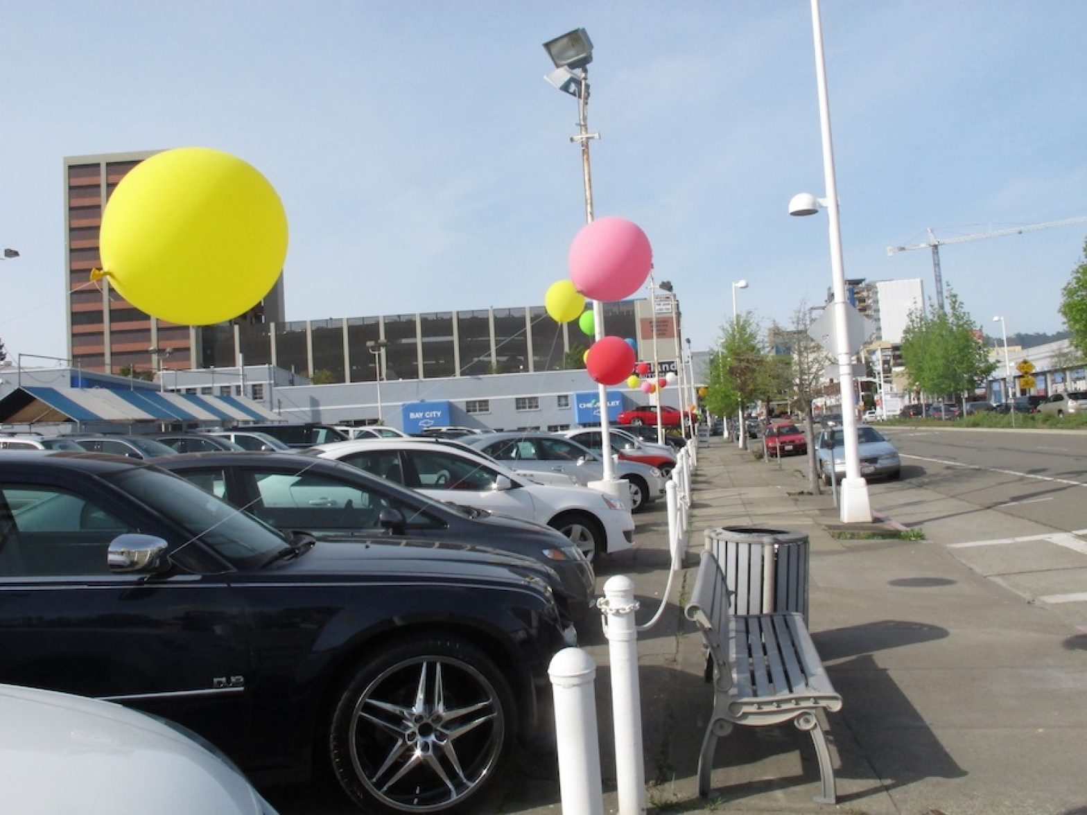
Oakland’s Auto Row renaissance may have to work on a smaller scale
Since 2000, city officials have had big plans for Auto Row. They called it the Broadway-Valdez project, a 96-acre development that included a strip of housing and restaurants next to the 19th Street BART station, the Valdez Triangle.Planners said the effort, if fully funded, would be Oakland’s best bet to revive its sagging retail sector. But the project’s prospects have dimmed since California killed redevelopment funds as a way of backfilling the state budget deficit.

hammock_web.jpg

Can San Francisco add 150,000 more people?

As the Bay Area struggles to meet sustainability goals, double-digit population growth presents a clear challenge to reducing the region’s ecological footprint. Residents must use resources more efficiently to counteract the addition of more than a million new residents. In many ways, it mirrors a challenge the planet is facing. Can population growth in San Francisco and the Bay Area be sustainable?

Why smart growth?

Sprawl is commonplace in the Bay Area — from places like Antioch and Brentwood on the outskirts of Contra Costa County to parts of Santa Clara and Sonoma counties. The pattern emerges from an all-too-familiar suburban formula that for decades earned developers high profits: perfectly manicured lawns, streets that meander around small neighborhood parks and cul-de-sacs at the end of nearly every block. Mixed use is forbidden — businesses are clustered into shopping malls a car trip away. Though the Bay Area started out on a European-style city grid in the era of the horse and buggy, the neighborhoods developed after World War II, after the rise of the automobile industry and interstate highway system, became the American dream.

img_9337.jpeg

Mien farmers cultivate their own garden in East Oakland

In the heart of East Oakland’s Fruitvale neighborhood, the Peralta Hacienda Historical Park is an incongruous reminder of California’s Mexican past: 6 acres of open space in a sea of single-family homes. What was once a massive ranchero now features a Victorian house surrounded by carefully tended vegetable gardens. Ben Glickstein is director of outreach here. He says back in 1820, Antonio Peralta had big agricultural dreams for this stretch of land that slopes down to Peralta Creek. “And we’re still using this for agriculture, for food, here in the middle of this pretty urban neighborhood.”

timthumb.jpeg

24th St. BART plaza will expand

Remodeling 24th St. BART plaza will add 1,200 square feet to the plaza on the southwest corner, according to planners who met with the community last Wednesday. “These plazas are important public open spaces … they are gateways to the neighborhood for residents and myriad visitors,” said BART Board Vice President Tom Radulovich. “Everyone I talk to about them agrees they are not working now the way they should.”

captionimage_mainarticle.jpeg

Candlestick Point park slated to close, despite promise of developer funds

As California’s first urban state park, Candlestick Point State Recreation Area in southeast San Francisco offers city dwellers a rare slice of nature. Flanked by a sea of asphalt and a hulking stadium, parts of it are not all that pretty. Even with the shortcomings, Candlestick brings panoramic views of San Bruno Mountain, the East Bay hills and San Francisco Bay, and a tranquil open space to the low-income, ethnically diverse community of Bayview-Hunters Point.

20120204-0071-sm.jpg

America’s Cup may be scaled-down, but transportation challenges are unchanged

City scrambles to invent temporary bus and train lines for legions of yacht race spectators
A version of this story appears in the Spring 2012 print edition of the San Francisco Public Press.
The effect of a scaled-down America’s Cup plan on an ambitious transit effort is unclear as the city continues to view the expected flood of visitors for America’s Cup pre-events this August and October as a chance to experiment with new transit options. On Tuesday, the San Francisco Board of Supervisors approved an agreement with America’s Cup organizers that will put more of the spectator activity along the Marina Green. The transit plan for the game calls for an estimated 300,000 spectators around the waterfront — the equivalent of almost half the average weekday Muni ridership of 637,000 — city planners said they have to get nearly everyone out of cars to prevent transportation chaos.

3197719608_8d6314f161.jpg

Ordinance would put restrictions on Castro District plazas

A proposal to regulate two popular Castro District hangouts by restricting chairs and shopping carts is a step closer to becoming city law. The Board of Supervisors will decide Tuesday on an ordinance, which passed the Land Use Committee this week, that would ban nighttime sitting, sleeping, vending, smoking and even pushing a shopping cart in Harvey Milk and Jane Warner Plazas.

2132418816_d2b6f4d23a.jpg

Ocean Beach Master Plan envisions big changes for Great Highway

Have you heard about the Ocean Beach Master Plan? The San Francisco Planning + Urban Research Association (SPUR) is facilitating a coordinated effort among multiple agencies to create a “sustainable long-range plan” for San Francisco’s shoreline. Why do we need a plan? Because erosion of the beach and anticipated rising sea levels may necessitate major changes in the infrastructure that serves the area.

sfpp_native_plants-4.jpg

Restoring Presidio’s native plants is painstaking process

Extreme biodiversity, coupled with the surrounding extreme urbanism, makes the Presidio arguably the epicenter of native plant restoration in the West. The 2.3 square mile park, formerly an Army base, is home to 600 plants, more variety than in most states. It owes this biodiversity to its San Francisco location, a city at a biogeographic crossroads. At the Presidio, Betty Young leads a team of botanists that collect and grow native plants as part of a painstakingly precise attempt to restore the park’s native habitat.